These popular topics are heating up. Explore today's most viewed pages.
Posted June 24, 2024
Posted by Public Relations and Emergency Management
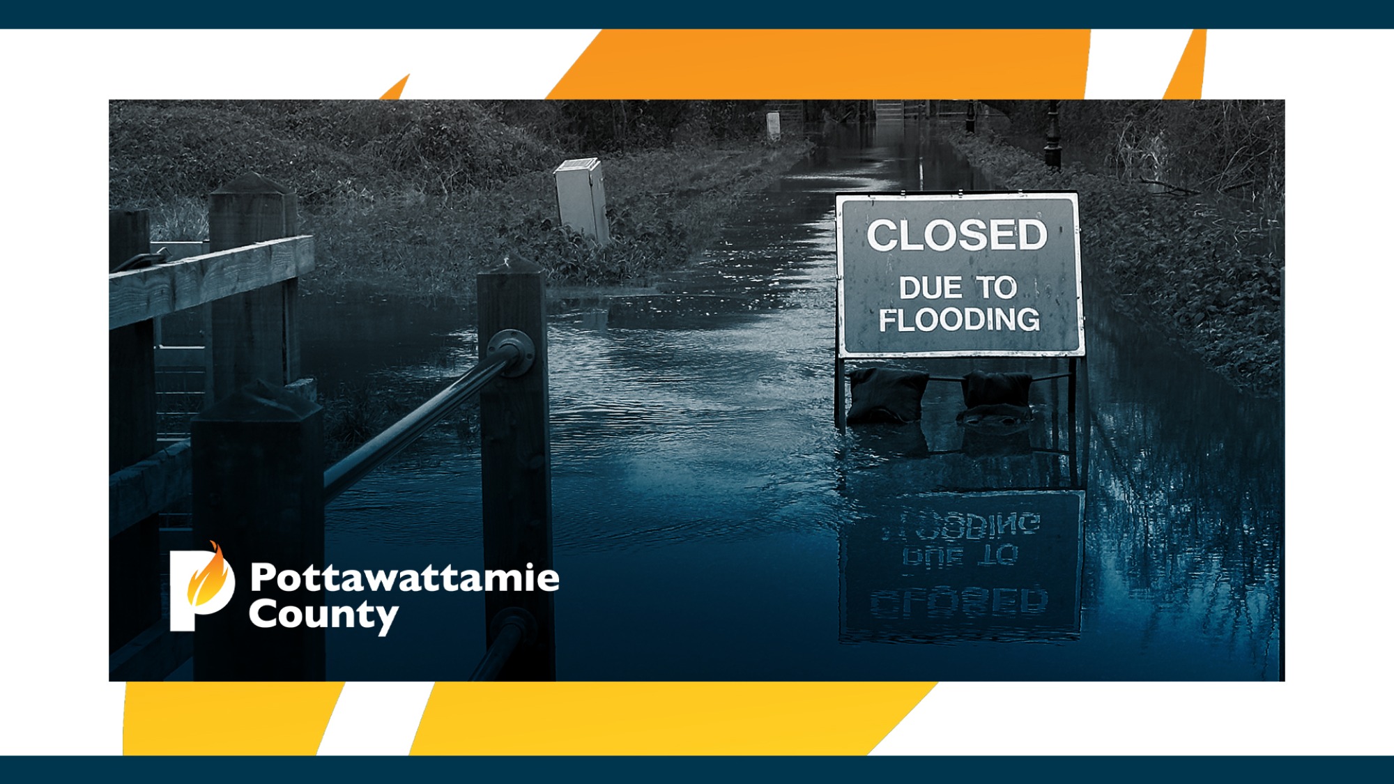
Pottawattamie County, Iowa – Officials from the Pottawattamie County Emergency Management Agency anticipate flooding in areas of the county by mid-week. In response to impending flooding, Iowa Governor Kim Reynolds has issued a Disaster Emergency Proclamation for five counties- including Pottawattamie County.
Currently, the Missouri River level is at 25.8 feet and is expected to crest on Thursday, June 27th around 1:00 a.m. at 35.1 feet. The National Weather Service projects the river will rapidly recede, decreasing to Minor Flood Level by 1:00 a.m., Sunday, June 30th, and back below flood stage on Thursday, July 4th.
Officials are recommending voluntary evacuation of two areas of Pottawattamie County, due to anticipated flooding. Timely and reliable access to these areas for essential emergency services will be significantly delayed and may be completely impassible based on the current forecast.
Evacuation Area 1
Evacuation Area 2
The Pottawattamie County Sheriff’s Office will be canvassing Evacuation Area 1, to provide direct information. Automated alerts are being distributed to further assist communication efforts. Direct contact has been made established with property owners within Evacuation Area 2.
Precautionary measures and temporary closures:
Unlike floods experienced in 2011 and 2019, officials do not currently project standing water to linger in Pottawattamie County for an extended period. This is a rapidly evolving situation; residents are encouraged to use best judgement and stay safe. Don’t drive through standing water. If you feel it’s necessary to evacuate your home, don’t wait until it’s too late.
To receive emergency weather warnings and community alerts such as evacuations, shelter locations, and other emergency notices, sign up for free alerts from Alert Iowa visit, pcema-ia.org/alert-iowa.
Ongoing flood information and a link for property owners to report storm-related damage can be accessed on the Pottawattamie County Emergency Management Agency website, pcema-ia.org.
To read Governor Reynolds’ proclamation visit, governor.iowa.gov/newsroom.
About Pottawattamie County Emergency Management: Emergency management protects communities by coordinating and integrating all activities necessary to build, sustain, and improve the capability to mitigate against, prepare for, respond to, and recover from threatened or actual natural disasters, acts of terrorism, or other man-made disasters. For more information, visit pcema-ia-org.

