These popular topics are heating up. Explore today's most viewed pages.
Posted June 25, 2024
Posted by Public Relations
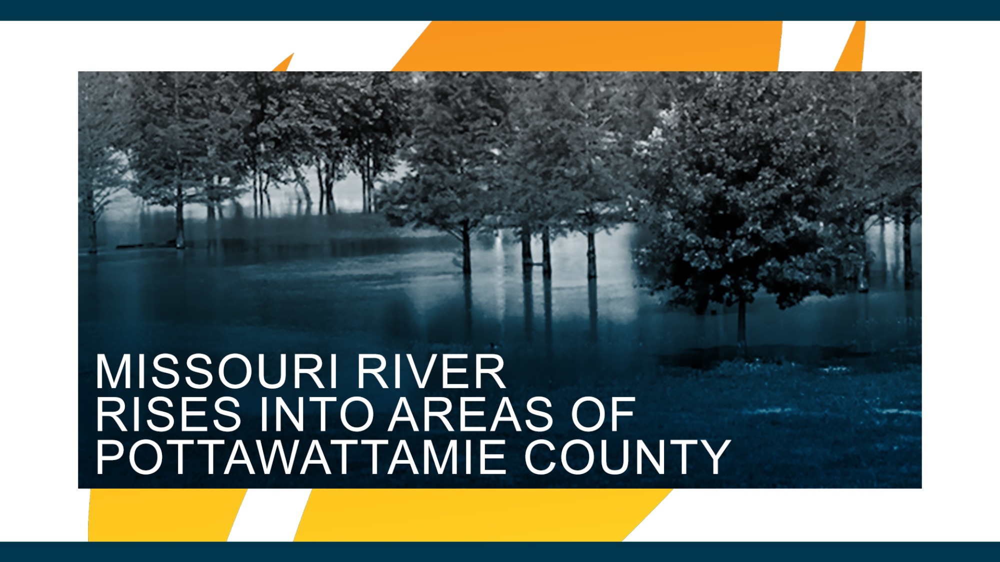
Pottawattamie County, Iowa – After days of anticipation, water levels of the Missouri River have now risen into areas of Pottawattamie County. The flooding follows Monday’s announcement that Iowa Governor Kim Reynolds issued a Disaster Emergency Proclamation for five counties- including Pottawattamie County.
Currently, the Missouri River level is at 28.8 feet. Level projections from the National Weather Service are rapidly evolving, with the latest models expecting the river to crest on Thursday, June 27th around 1:00 a.m. at 35.4 feet. Officials anticipate the river will quickly recede, decreasing to Minor Flood Level on Sunday, June 30th, and back below flood stage on Tuesday, July 2nd.
Local, state, and federal partners have communicated and planned response priorities and continue to partner to meet the needs of local governments and the residents that face potential impacts from this event.
Voluntary evacuations were announced for two areas in Pottawattamie County and Council Bluffs on Monday.
Evacuation Area 1
Evacuation Area 2
Alert Iowa notifications were sent to property owners within both evacuation areas via text and email, and local law enforcement distributed flyers to each residence. Of the 40 residential properties affected, 16 have announced intentions to evacuate. There have been no communicated needs for emergency shelter.
Precautionary measures and temporary closures:
There is a potential for severe weather in the area in the coming days. Heavy rain, high winds, and hail are possible. If areas north of Pottawattamie County receive high amounts of precipitation, projected levels of the Missouri River will change. Residents are encouraged to use best judgement and stay safe. Don’t drive through standing water. If you feel it’s necessary to evacuate your home, don’t wait until it’s too late.
To receive emergency weather warnings and community alerts such as evacuations, shelter locations, and other emergency notices, sign up for free alerts from Alert Iowa visit, pcema-ia.org/alert-iowa.
Ongoing flood information and a link for property owners to report storm-related damage can be accessed on the Pottawattamie County Emergency Management Agency website, pcema-ia.org.

